Update on Clear Lake Fire:
Suspect in custody, 17 counts arson
CA-LNU-Clayton
Clayton Fire Incident Information:
Last Updated:August 15, 2016 1:15 pm
Date/Time Started:August 13,2016 6:03 pm
Administrative Unit:CALFIRE Sonoma-Lake-Napa Unit
County:Lake County
Location

ff Hwy 29 and Clayton Creek south of Lower Lake
Acres Burned - Containment:4,000 acres - 5% contained
Structures Threatened:1500
Structures Destroyed:175+
Structures Evacuated
Cause:Under Investigation, suspect in custody
Cooperating Agencies:CAL FIRE, Multiple local government fire departments, USFS, Department of Fish & Game, CA State Parks, Lake County Sheriffs, CHP, PG&E, CDCR and BLM.
Total Fire Personnel:1,044
total Fire Engines:122
Total Fire Crews:24
Total Airtankers:6
Total Helicopters:7
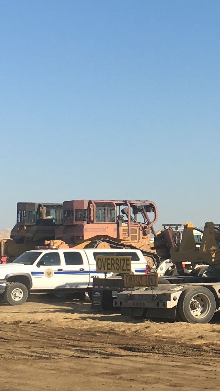
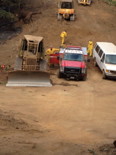
Total Dozers:22
Total Water Tenders:22
Long/Lat:-122.60664/38.89741
The fire continued to burning aggressively through the night. The communities impacted were Lower Lake and Clearlake. Additional resources arrived throughout the night. The fire behavior remains intense. Structures are threatened and currently mandatory evacuations are in place. Structure defense continues. Terrain is grassy oak woodland, heavy brush with difficult access.
https://r.tapatalk.com/shareLink?ur...&share_fid=7911&share_type=t&share_pid=218012